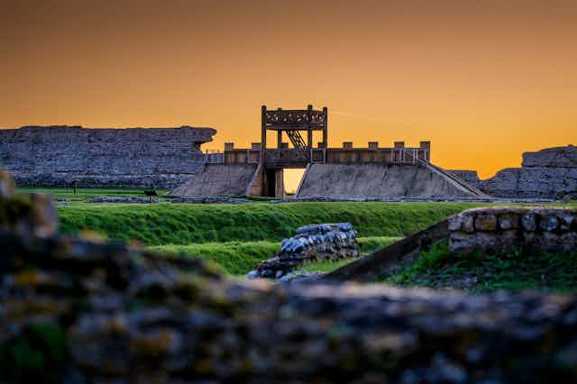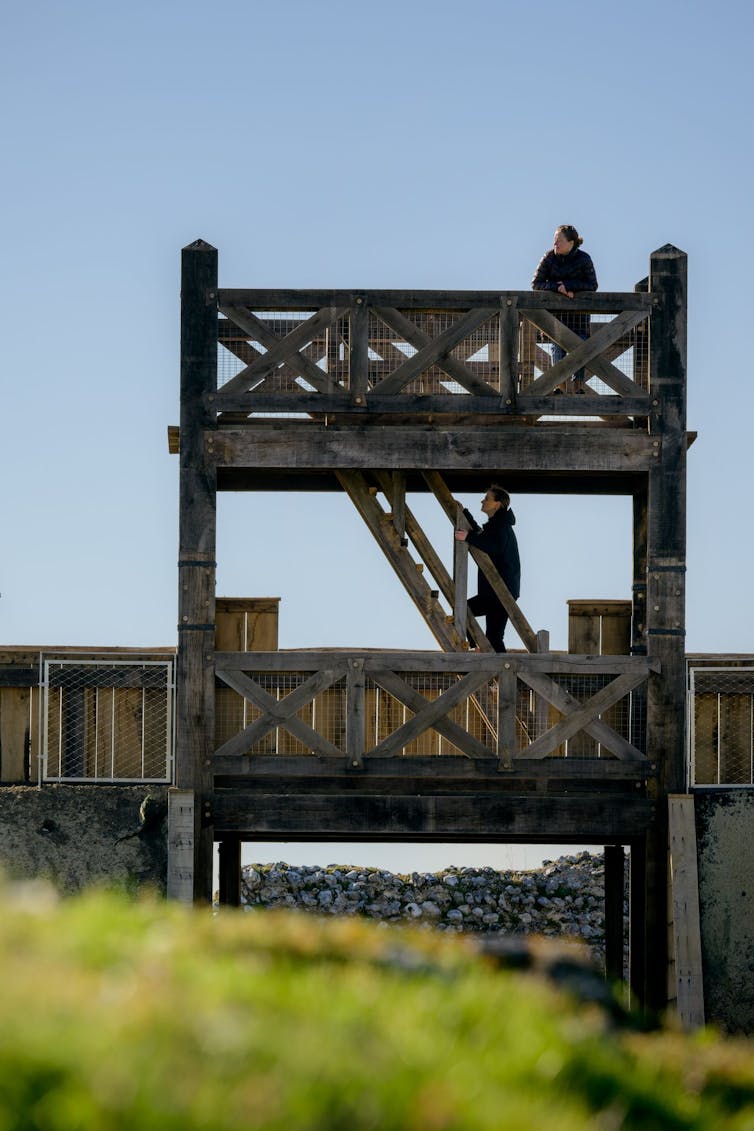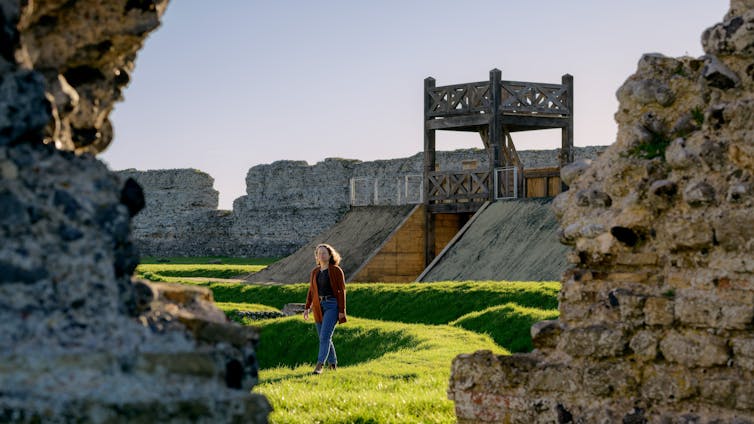
Visitors to Richborough Roman fort near Sandwich in east Kent will now find a major new addition to the site: a reconstructed Roman fort gateway in timber, flanked by stretches of an earthwork rampart.
The gate has been built on the site of an actual Roman gateway, thought to date to the invasion of Britain in AD43 under the emperor Claudius. Recent re-excavation revealed the emplacements of the post-holes housing the uprights of the gate, inside a pair of north-south defensive ditches.
The soil from these ditches would have been mounded up to create an earth rampart. These would have been a formidable defensive obstacle and typical of Roman military engineering of the first century AD.
Roman military defences normally enclosed a rectangular area for a camp or fort. The Richborough defences are odd in that they do not do that, but instead cut off a long stretch of land along the shore on the eastern side of the site.
Their full length to the north and south is unknown and much land to their east has undoubtedly been lost to erosion and the construction of the railway.
What was the purpose of the gateway and defences?
The defences look to be designed to secure a length of shoreline, leading historians to suggest that they were temporary defences for a beachhead.
The pottery from the very bottom of the ditches (therefore close in date to their digging) dates to the middle of the first century AD, so they have long been thought to be defending the beachhead for the Claudian invasion force.
This force consisted of four legions of heavy infantry (some 20,000 men) along with a probably equivalent number of auxiliary troops, cavalry and light infantry. Such a force would have needed a very large beachhead secure area, to say nothing of anchorage for all the transports for the men, horses and supplies which sailed from the invasion base at Boulogne.

Courtesy of British Heritage
At the time of the invasion, the Isle of Thanet really was an island and between it and the Kent coast was the Wantsum Channel (now long since silted up, turning Thanet into a peninsula). Richborough lay on the Kentish shore of the Wantsum, with a sheltered area for an anchorage or for beaching ships at the bottom of the sea cliff.
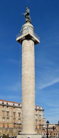
The model for the new gate structure is one carved on Trajan’s Column in Rome. The column commemorates the emperor Trajan’s conquest of Dacia (modern Romania) in the opening years of the second century AD, some 60 years after Claudius’ invasion of Britain.

Livio Andronico, CC BY-SA
The monument was decorated with scenes showing the campaigns, with one showing Roman soldiers building a fort. The gate structure shown is one of the few pieces of evidence historians have for what these timber gateways may have looked like, since normally they have long since been demolished or rotted away.
Though the scenes are very immediate and vivid, there are problems with them. The column was a propaganda piece, sculpted in marble and set up hundreds of miles from where the fighting took place, so there was quite a bit of artistic licence involved.
For instance, in this scene, the fortifications (which would have been of earth and turf and timber) are shown as if they were of masonry. Realism has been abandoned in favour of effect.
There are also problems in practical terms. The structure recreated in Richborough would have been open to the elements, fine in the campaigning season in Dacia but not very practical in a Kentish winter, with a wind off the North Sea whistling around the sentries’ subligacula (undergarments).
An enclosed, boarded structure would have been much more conducive to military effectiveness.
Understanding Richborough’s significance
Richborough remained an important entry point to Britain throughout the Roman period. Remains from nearly four centuries are now visible at the site, making it difficult for visitors to understand.
As well as the Claudian ditches, there is the huge concrete base for a four-way arch built in the late first century or later to commemorate the acquisition of Britannia. Originally sheathed in white Carrara marble from Italy (only fragments survive), it has an inscription in gilt bronze letters.

Courtesy of English Heritage
After the army moved on, Richborough became a major port with, among other things, an amphitheatre, also recently excavated. In the third century the site was refortified, initially by triple ditches around the base of the arch, then with the impressive stone walls.
In the fourth century it was part of a system of forts from Brancaster in Norfolk to Portchester in Hampshire, known to the Romans as the “Saxon shore”, to keep the seaways safe.
These layers of historic developments make Richborough a complex site to understand and the ditches of the Claudian beachhead have long been overshadowed by the later remains. This new initiative by English Heritage should bring one of the most significant monuments of Roman Britain out of the shadows.
Post a Comment